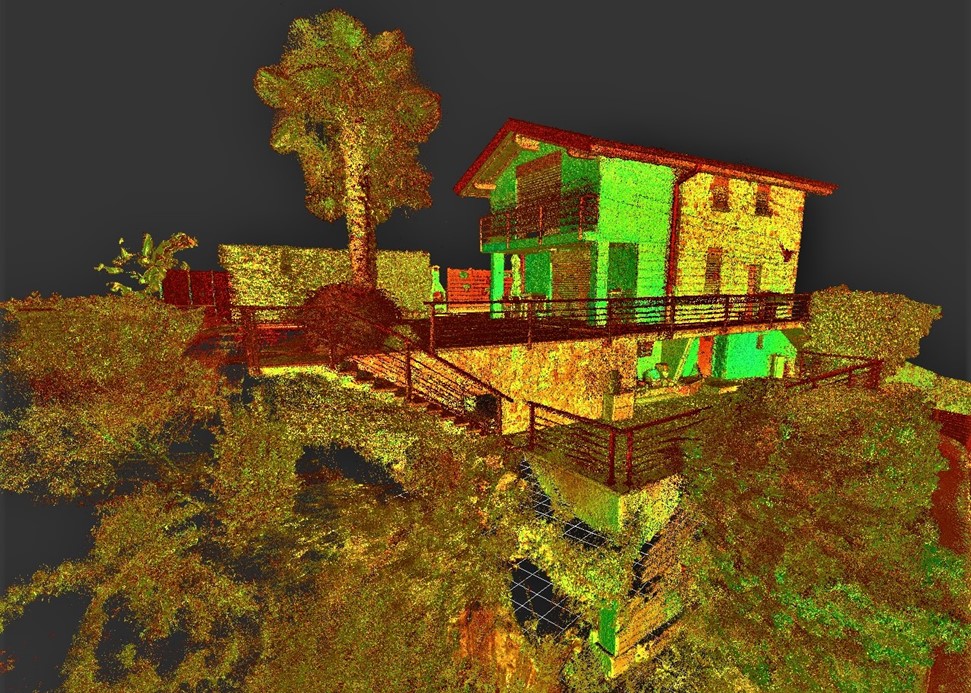
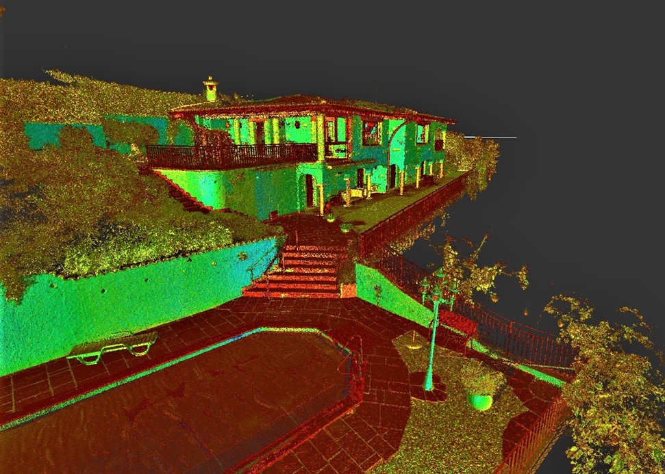
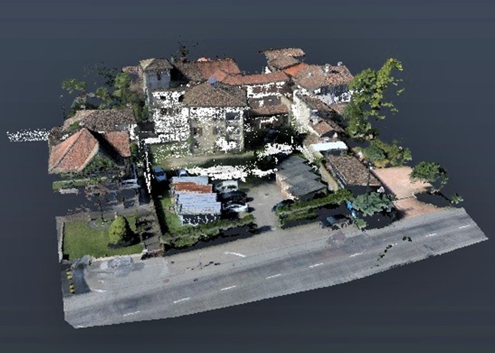
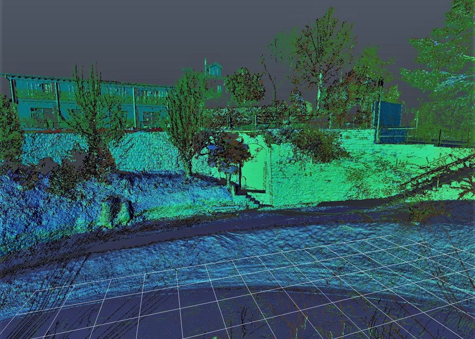
Geostudio Galster provides high resolution digital elevation models (DEM) and building digitalization for BIM. This is done by the combination of 3 acquisition techniques such as UAV photogrammetry, LIDAR and RTK GNSS.
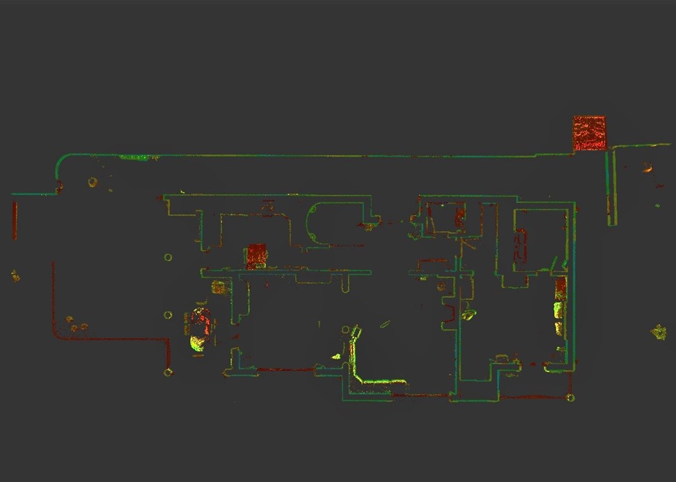
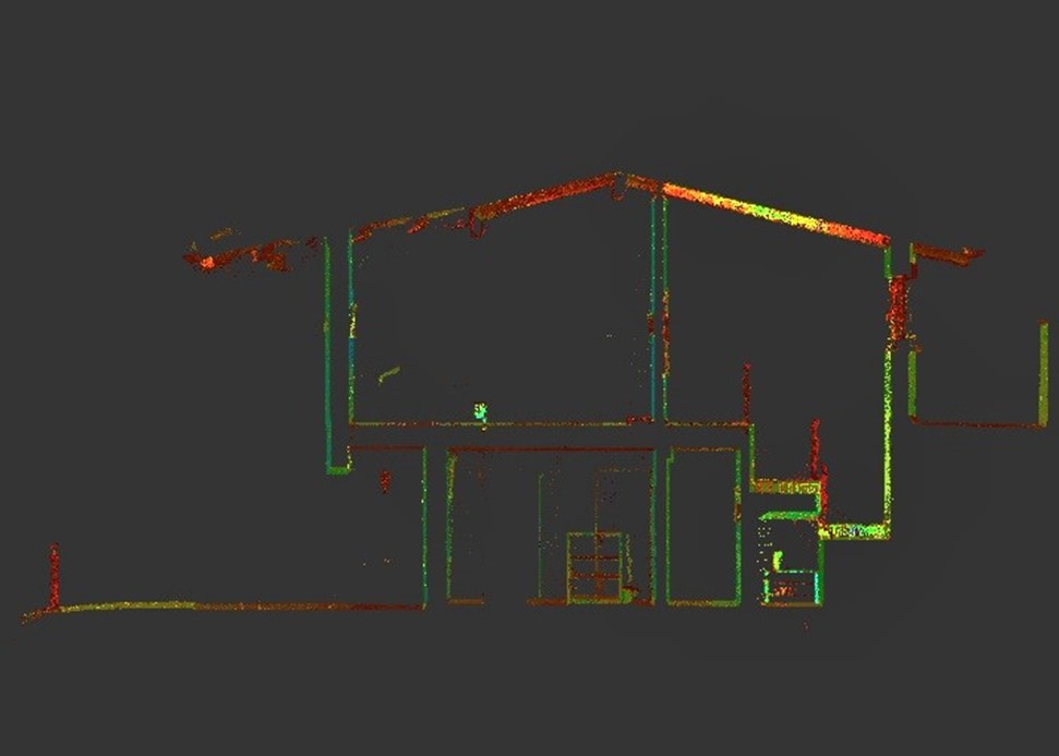
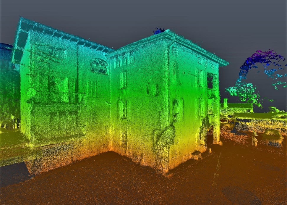
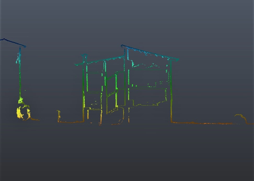
The combination of laser scans inside the building with digital photogrammetry applied to exterior provides an almost complete digital model of the building and its contours with a high degree of spatial resolution. The model can then be imported into CAD and BIM programs for the development of architectural projects and/or technical interventions.
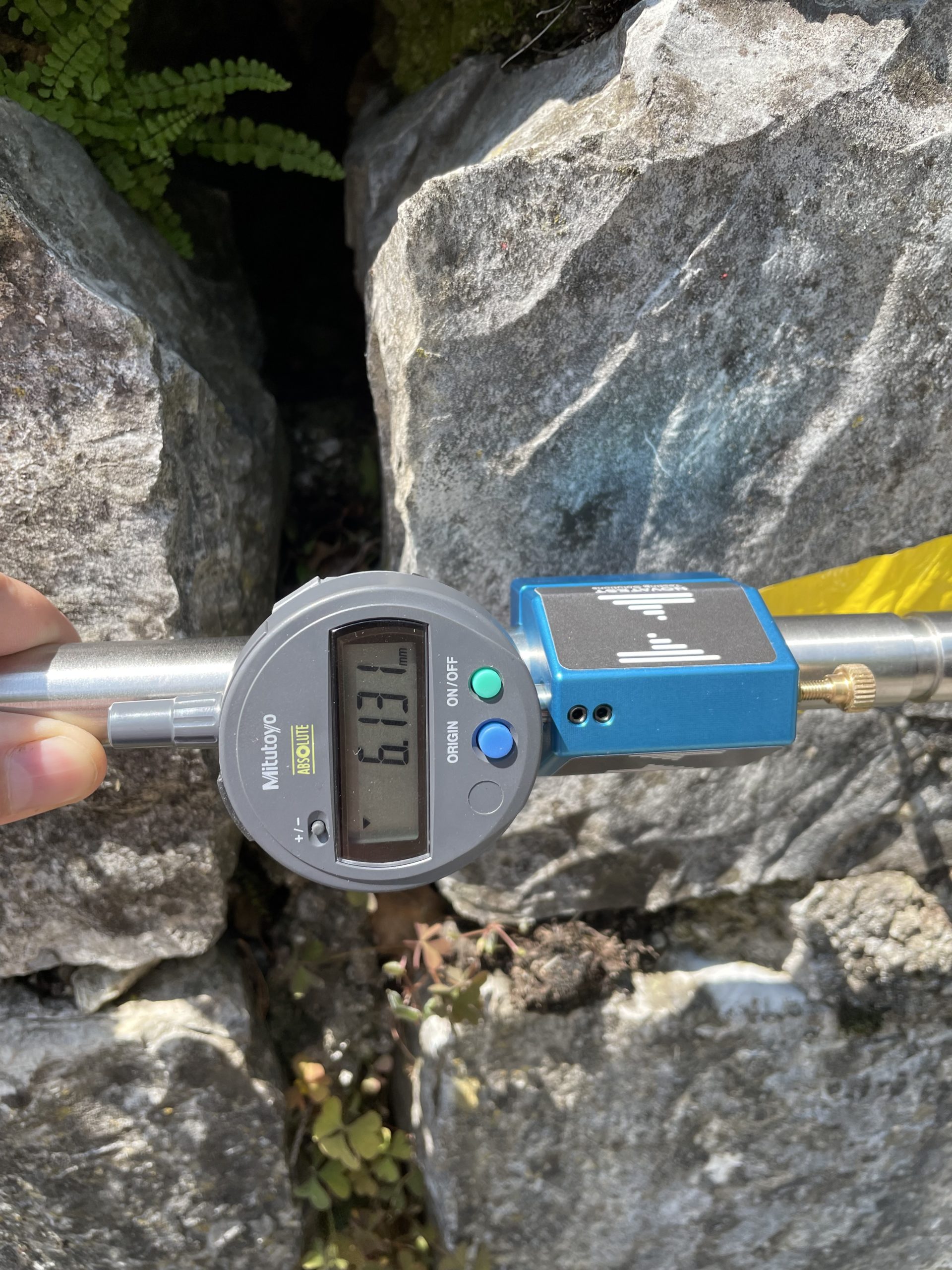
In the event of instability, we can monitor the evolution of the fracturing state through punctual measurements with extremely precise deformometer or through a global comparison of high-resolution point clouds acquired multiple time over the observation period.
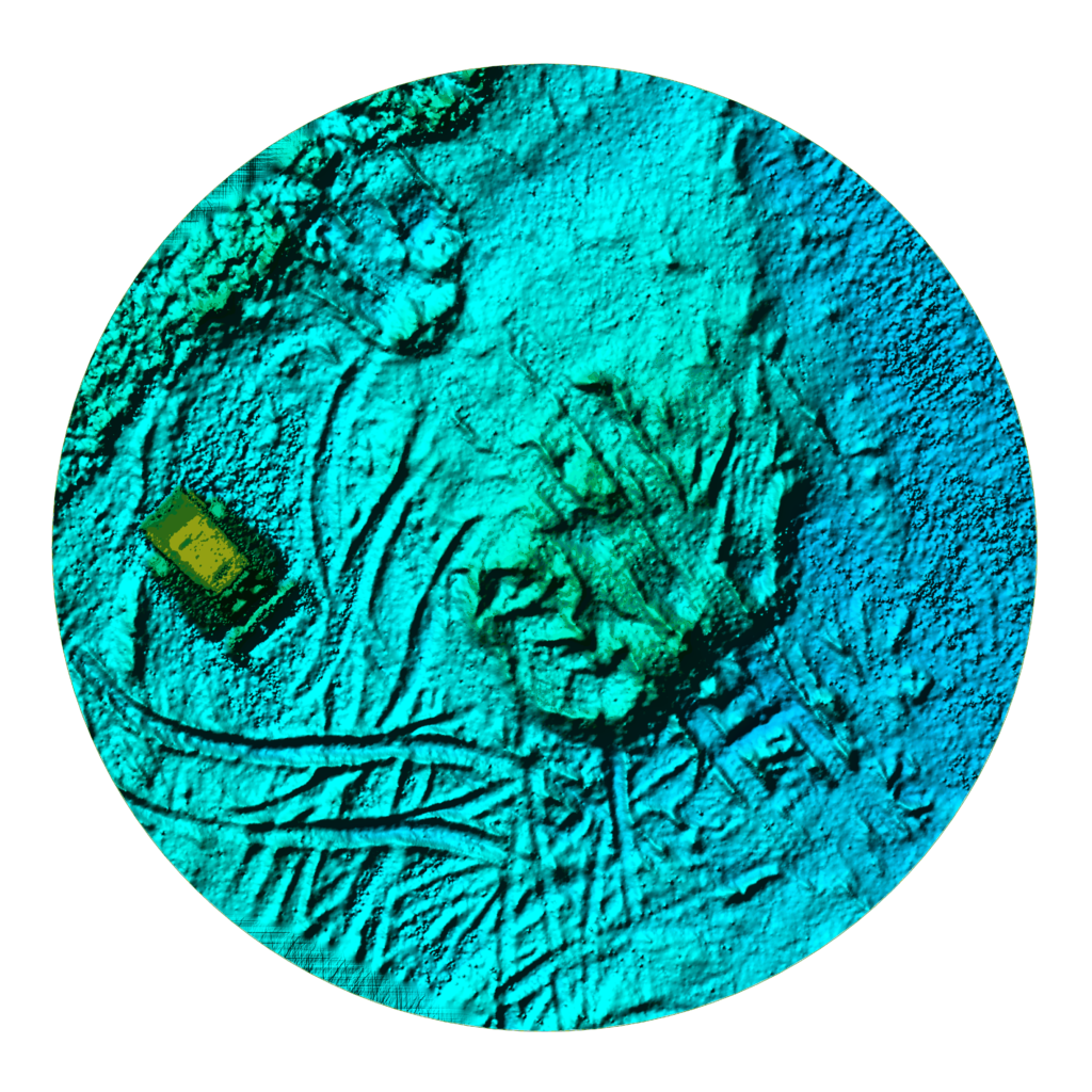
The acquisition of multispectral images allows further development of the digital models and provides information on the quality of the detected materials. This is possible both from a drone and from the ground.